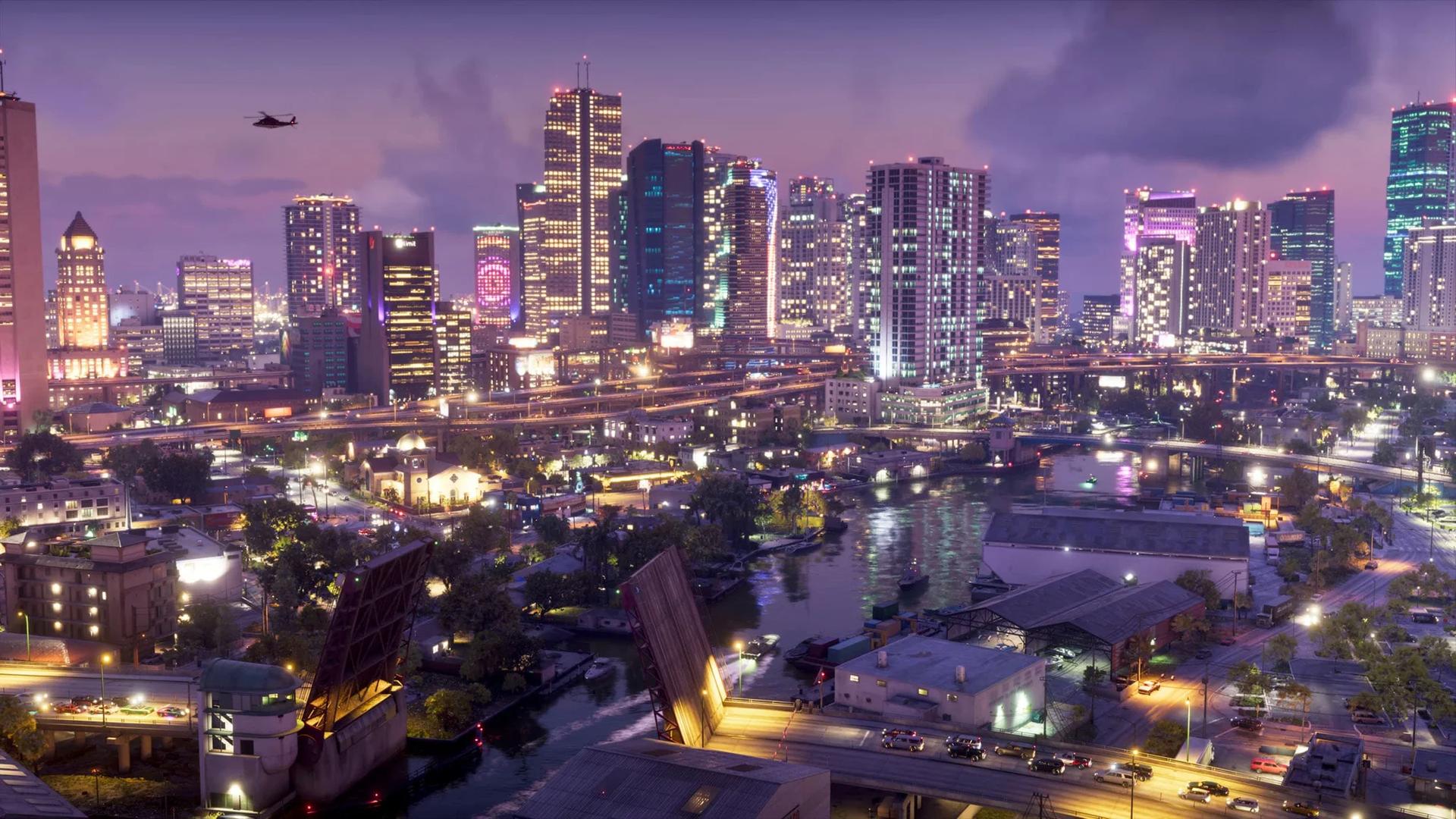

Grand Theft Auto 6 takes place in Leonida, whose six named regions cover Vice City, islands, wetlands, an industrial interior, the Gulf coast, and northern wilderness. Start by following the Keys toward Vice City, then make separate trips for the swamp and inland areas.
A useful first outing teaches you a crossing, a landmark, and somewhere worth returning to. Choose your destination before your vehicle: a bridge drive, a walk through city shops, and an airboat trip each reveal different parts of the state. The regional breakdown below helps you decide where to go and how to approach it.
Leonida map overview
Leonida uses a 3D map, with point-of-interest icons you can switch on. Use those markers to check nearby destinations when you arrive somewhere unfamiliar, then compare their positions with the streets or shoreline around you.
Treat Grand Theft Auto 6 map exploration as a separate task from story progression. Areas appear on the map as you visit them, and the story does not take you everywhere. An unexplored stretch deserves its own trip, even if no mission marker points toward it.
Build your bearings around visible features. A bridge identifies a crossing, refinery stacks identify an industrial area, and a waterfront crane helps you recognize a port approach. These references make the return journey easier without requiring constant checks of the minimap.

Regions and connections
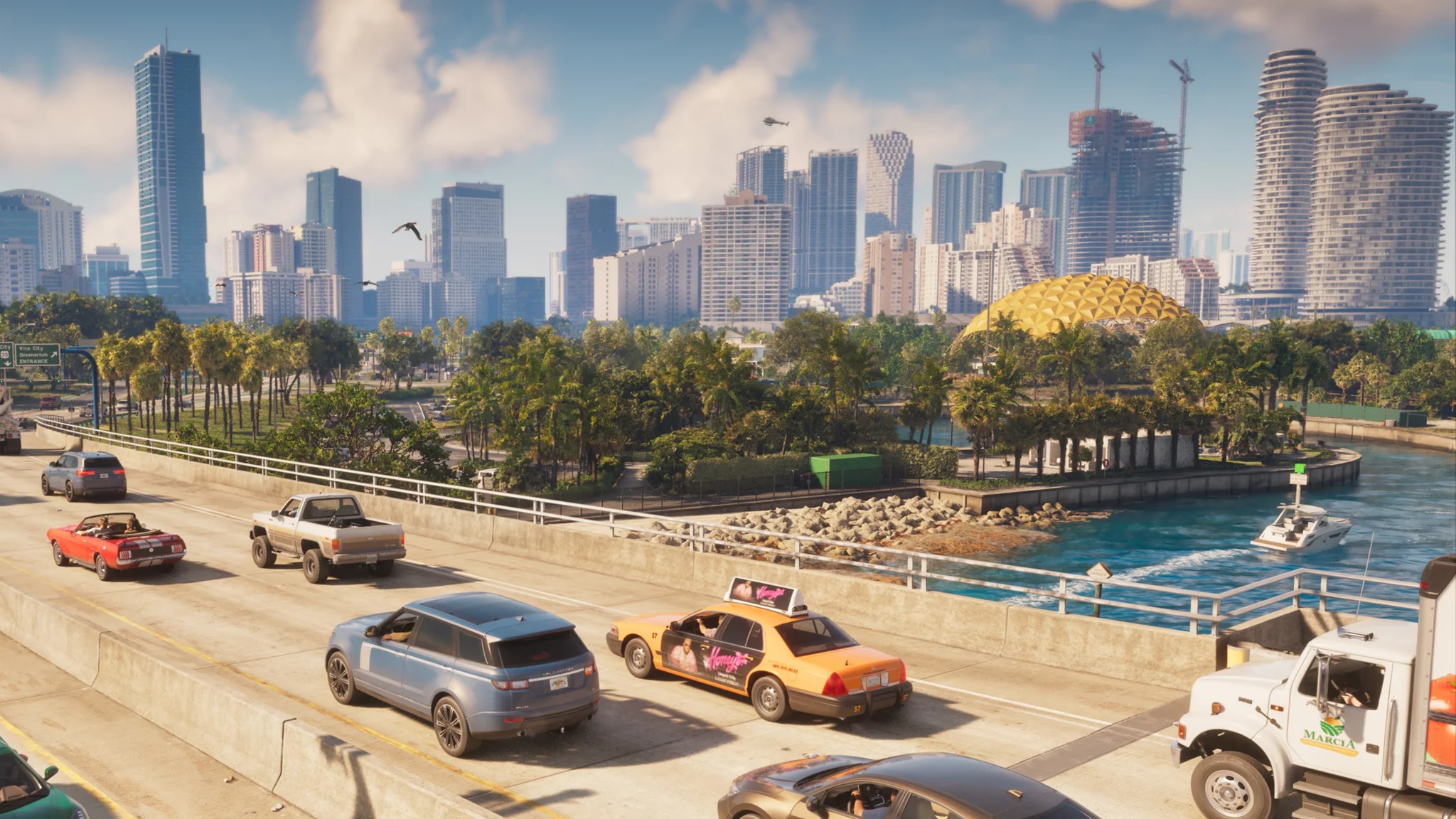
Read Leonida in terms of its coasts, interior, and northern park. Road connections matter most between islands and through the city; once you enter the wetlands or backwoods, your choice of transport becomes more important.
| Region | Position and terrain | Suggested approach |
|---|---|---|
| Leonida Keys | Southern chain of tropical islands | Drive the bridge route, then explore the shoreline by boat |
| Vice City | Atlantic-side urban area | Drive between districts, then walk around individual blocks |
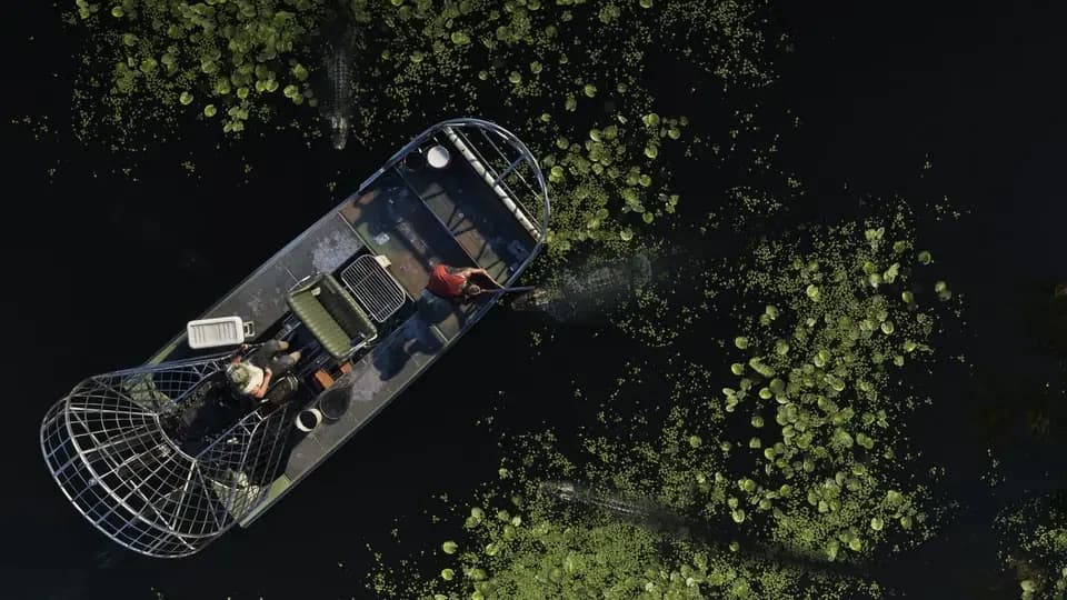
| Grassrivers | Southern wetlands with mangroves and shallow waterways | Use an airboat for a water-focused outing |
| Port Gellhorn | Gulf coast area with motels, roadside businesses, and faded attractions | Follow the roads, then investigate individual stops |
| Ambrosia | Central industrial and rural interior | Use the refinery as a reference before exploring surrounding roads |
| Mount Kalaga National Park | Northern hills, rivers, forests, and trails | Bring suitable off-road transport and leave time to explore on foot |
Grassrivers: learn the channels before rushing
Grassrivers replaces a familiar street grid with water, vegetation, docks, and scattered buildings. An airboat suits its shallow waterways and grassy stretches. Choose a recognizable landing for your first trip, then learn one route out and back before attempting a longer crossing.
Grassrivers wetland channels
This is also the region to prioritize when looking for Grand Theft Auto 6 alligators. Keep the wildlife outing separate from a hurried journey through the swamp, and inspect the bank before leaving your boat. Swimming is a poor default when the region's best-known predator lives in the water.
Mount Kalaga: make the trail your destination
Mount Kalaga National Park offers hunting, fishing, and off-road trails. Its wildlife includes deer and Florida panthers, so a quiet creek is not necessarily an empty one. Pick a single trail or stretch of river to investigate instead of trying to cover the entire park behind the wheel.
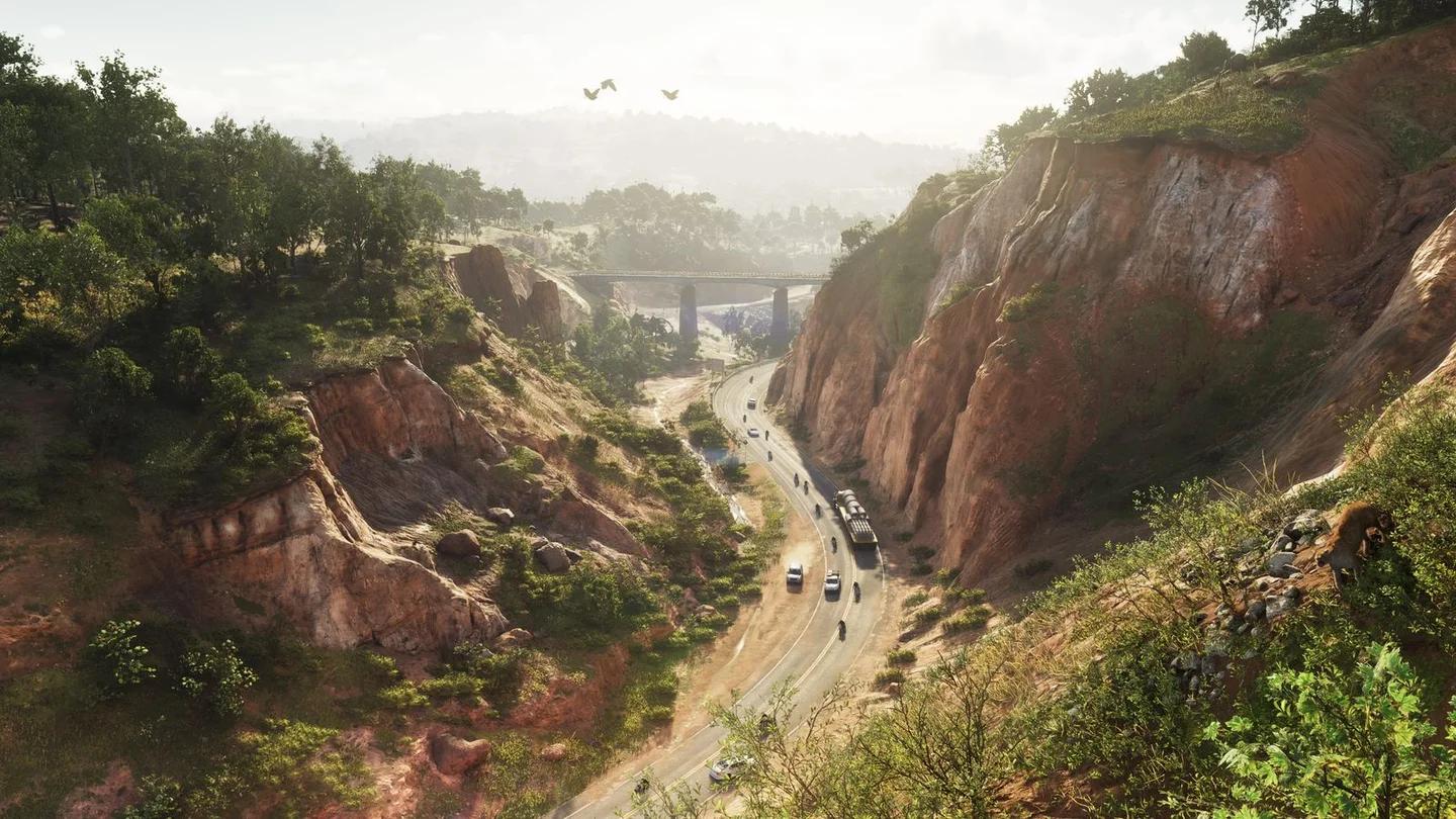
Mount Kalaga's forest wildlife
The backwoods also have human inhabitants, including isolated groups living away from government attention. Treat buildings and camps as occupied places to assess, not automatic rest stops. Park somewhere you can recognize again before heading farther into the trees.
Major towns and destinations
A regional name gets you to the right part of Leonida. A named business, district, or large structure gives you a manageable destination once you arrive.
The Keys and Vice City
Jason's starting home is in the Leonida Keys, at a property owned by Brian Heder. Brian's boatyard and The Rusty Anchor bar are recognizable local destinations. Use the area around the home to establish your first short route before extending the journey across the island chain.
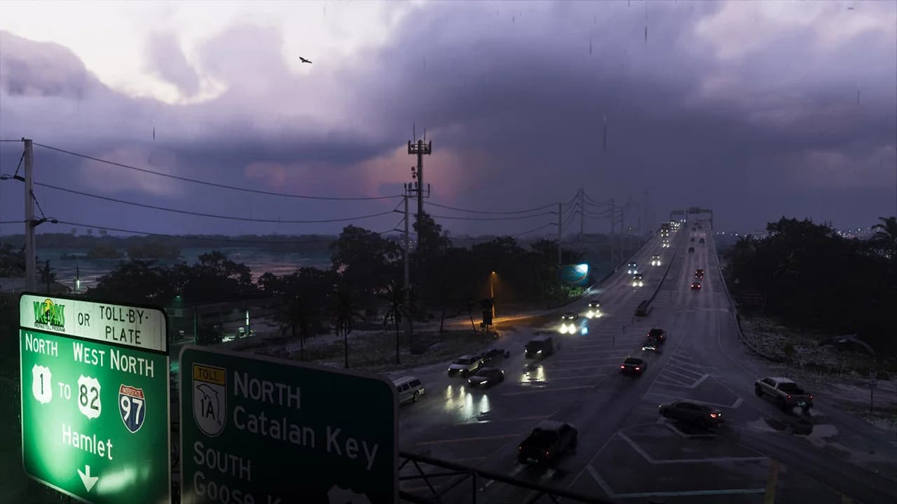
Bridges across the Leonida Keys
Give the Keys' coast a separate visit from the road journey. Docks and shorelines sit below the bridge route, while underwater exploration includes diving around treasure and shipwrecks. A drive across the islands does not replace a trip onto the water.
Little Cuba, Tishawaka flea market, and the port offer three different Grand Theft Auto 6 destinations: bakery storefronts, a market, and a working waterfront. Choose one district for your first walk. The beach strip is easy to recognize from its Art Deco hotels, while the port's cranes provide a much larger reference point.
Vice City's ramps and junctions deserve attention before you reach them. Check the approach to your destination, not just its marker. Missing an exit in traffic can turn a nearby stop into another drive around the block.
Port Gellhorn and Ambrosia
Port Gellhorn's useful stops sit among cheap motels, closed attractions, and strip malls. Hank's Waffles is a named diner to look for, while Gellhorn International Raceway provides a destination outside the town's roadside businesses. For a general exploration trip, stop at one recognizable business and investigate what surrounds it.
Ambrosia has a clearer industrial reference: the Allied Crystal sugar refinery. Its stacks help you orient yourself in the central interior. The refinery supplies local jobs, while a biker gang holds influence in the area, so industrial activity and gang territory are both part of the town's identity.
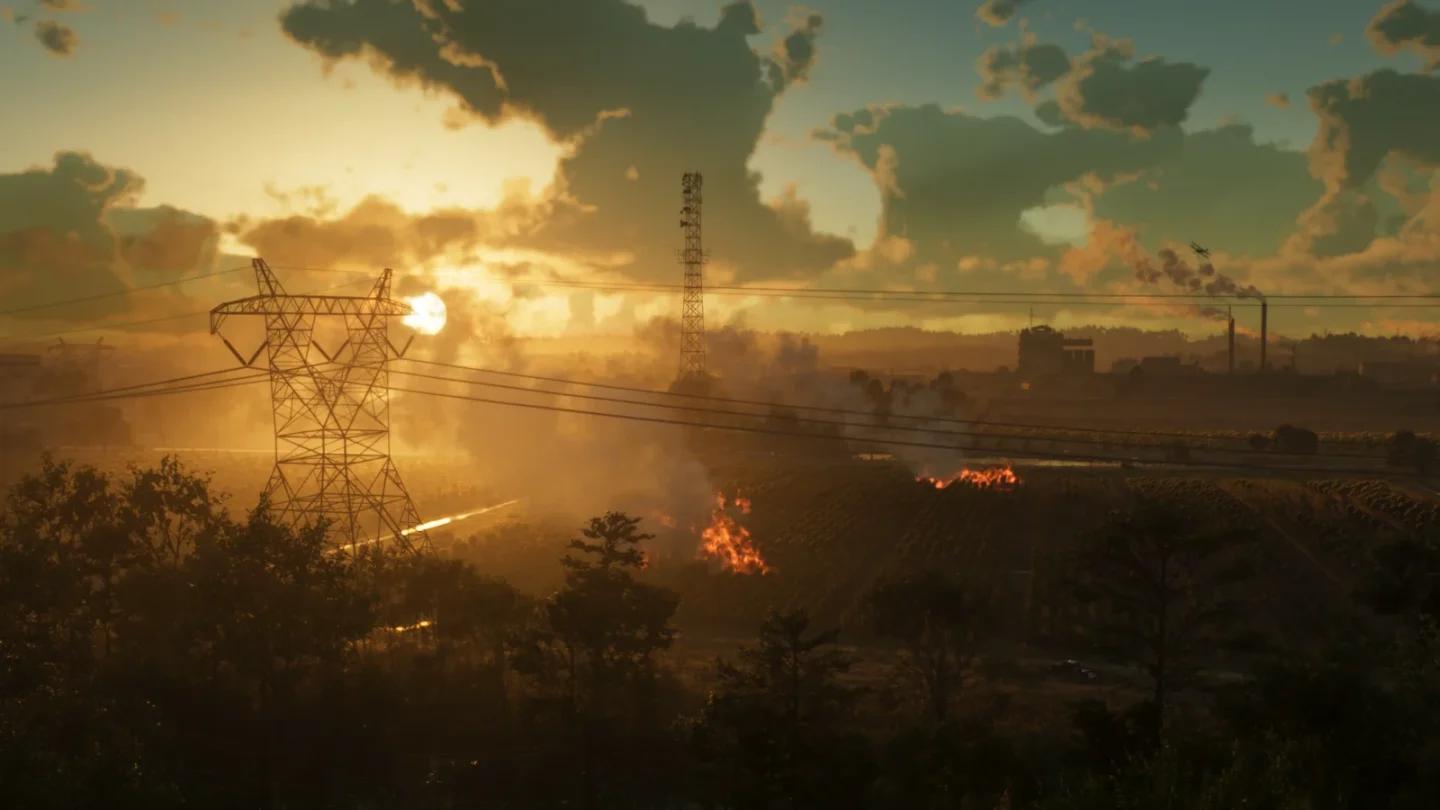
Ambrosia's sugar refinery
The surrounding countryside also includes the Thrillbilly Mud Club. Make that a separate destination if you want mud and off-road scenery instead of another coastal drive. Learn where the paved approach ends before committing to a longer trip through the dirt.
Transport and travel routes
Choose between learning a route and skipping the drive
Hold D-pad down to set a waypoint without leaving gameplay. Use it for a specific stop instead of placing your destination at the far end of an entire region.
Your transport choice should match what you want from the journey:
| Transport | Useful purpose | What to plan around |
|---|---|---|
| Car | Learning road connections and traveling between districts | Bridges, traffic, ramps, and junctions |
| Boat | Exploring island shorelines and coastal destinations | Where you can land and return to the road |
| Airboat | Moving through Grassrivers | Shallow channels, vegetation, and recognizable landings |
| Ride Me | Fast travel during longer journeys | Whether you want to skip the journey or learn it yourself |
| Buses and trains | Traveling as a passenger | Their schedules and where you get off |
| Walking | Inspecting storefronts, markets, and trails | A manageable area and a clear return point |
Drive an unfamiliar road yourself when your goal is learning its connections. Passenger transport is more useful when you want to look around without handling every turn. Check where a short public-transport trip leaves you before planning a longer outing around it.
The Scooter Bros app delivers your personal car, including purchased weapons stored inside it. Starting garage capacity is 3 cars, and you can buy additional garage space around Leonida. Keep that limit in mind when deciding which vehicles deserve a permanent place.
Plan the return before starting trouble
Police can recognize descriptions of your face, clothes, and vehicle through the Heat system. Getting away from the nearest pursuing car does not necessarily remove what officers know about you.
Before a robbery, identify a route out of the search area and note nearby clothing stores or respray shops. Leaving the area, changing clothes, or repainting a known vehicle can help address Heat. Respray shops have a cooldown, so do not build your escape around using the same shop twice in succession.
Keep a sightseeing trip and a criminal job separate when learning an unfamiliar district. A route you barely understand is a poor place to discover that the next turn leads back toward the search area.
Planning your first exploration route
First outing: a bridge crossing and one city block
Use a short sequence with a clear endpoint:
- Choose a local reference point. Start with a place you can recognize near the Keys home, such as the boatyard.
- Check the road connection. Look at how the bridge route approaches the mainland before setting off.
- Follow the road toward Vice City. Notice the order of crossings and junctions instead of treating the drive as empty space between markers.
- Stop in one district. Park and walk around a small area, checking storefronts or the waterfront at street level.
- Return by a route you recognize. Leave unfamiliar branches for a later trip instead of extending the outing indefinitely.
Choose the next trip by what you missed
Make your second outing different from the first. Return to the Keys by water if the bridges left you curious about the shoreline. Choose Grassrivers if you want to learn channel navigation, or head inland to Ambrosia for industry and rural roads.
Save Port Gellhorn's roadside stops and Mount Kalaga's trails for outings with their own endpoints. You will learn Leonida more reliably by connecting recognizable places than by driving across every region without stopping.