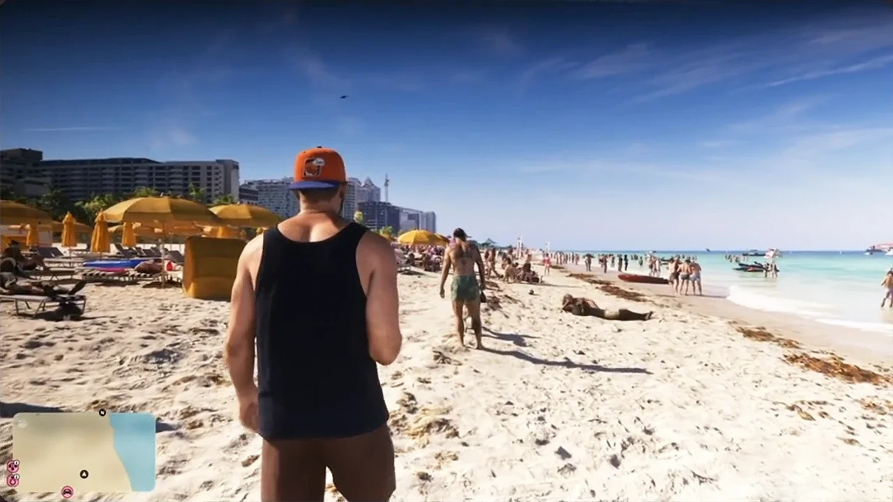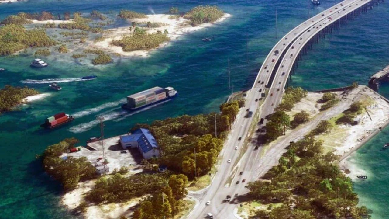

Mariana County covers southern Leonida in Grand Theft Auto 6, including the Leonida Keys, the Grassrivers wetlands, Watson Bay, and Capri. Start around Key Lento for the opening story and local businesses, then explore the mainland for swamp waterways and larger towns.
Your destination should match the trip you want to make. Shopping, fishing challenges, gang hideouts, and military vehicle theft take you to different parts of the county. Use the regional labels below to plan your journey, with Mile Zero Air Station treated as an optional high-risk detour.
Where to find Mariana County
Look toward the bottom of Leonida's map. The island chain belongs to Mariana County, so the Leonida Keys are not a separate county. Mainland Mariana extends through wetlands and coastal settlements, with Capri farther north along Leonida's western land edge.
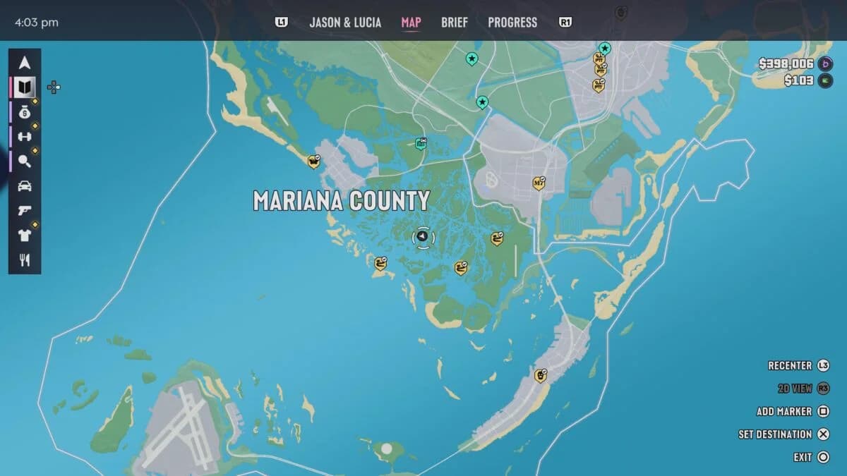
Mariana County and its map labels

Map labels to recognize
Use a town or regional name as your first reference, then check the smaller bays, islands, and rivers around it. These labels help you distinguish places with similar-looking coastlines.
| Map area | Nearby labels to recognize | Exploration focus |
|---|---|---|
| Key Lento | Gambit Bay, Shoeless Keys, Corsair Key, Peregrine Bay, Leonida Straits | Opening story area and local businesses |
| Southwind | Riquezas Keys, Permit Keys, Maroon Key, Abismo Key, Leonida Bay | Southern island exploration |
| Mile Zero Air Station | Southwestern Leonida Keys | Restricted military destination |
| Pelican Valley | Cottomouth Lake, Wetman Bay, Gullet Marsh, Pelican River | Mainland swamp exploration |
| Watson Bay | Bobcat Key, Bobcat Bight | Town services and nearby coastal areas |
| Grassrivers | Tola Bay | Wetlands and waterways |
| Capri | Tortoise Lake, Capri Sound, Belpoint, Gulf of Leonida | Shopping and wealthier streets |
| North Mariana County | Nehrling River | Orientation near the county's northern end |
Pelican Valley and Grassrivers are broad exploration areas. If you want a specific business or story destination, work toward the relevant town or landmark instead of stopping at the regional label.
Main roads and access routes
Follow Key Lento's main highway
Key Lento has one main highway strip, with stores, bars, and houses alongside it. Follow that strip to learn the local layout before branching into longer trips across the Keys. It provides a clearer starting reference than the surrounding small islands.
If you're struggling with reading the road while driving between businesses, adjust your Grand Theft Auto 6 driving camera and visibility settings before exploring unfamiliar turnoffs.
For a mainland outing, work north toward Watson Bay and the wetland regions. Make Capri a separate destination farther up the western side, especially if shopping is the reason for your trip. This keeps your first journey focused without turning every nearby island into another stop.
Reveal roads and waterways separately
Leonida's map begins under black fog that clears as you travel. Open the Map between trips to check which stretches remain unexplored. A drive through a town does not cover the surrounding rivers, marshes, and offshore islands.
Use this sequence to organize exploration:
- Choose a named destination. Start with a town, island, or regional label from the table.
- Follow the roads to learn the land route and nearby businesses.
- Check the map again for unexplored waterways around that destination.
- Make a separate water trip instead of expecting the road network to reveal the entire area.
Airboats appear in the Grassrivers and offer a vehicle option for exploring its waterways. Treat a swamp excursion as its own outing, not an extra turn during a shopping run.
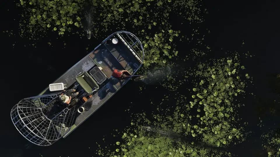
Airboats in the Grassrivers
Towns and points of interest
Key Lento and Brian's marina
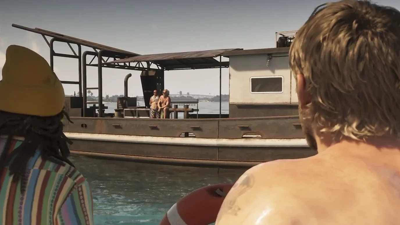
Brian Heder's marina is a waterfront base for his crew and the landing destination in Grand Theft Auto 6's Gone Fishing mission. Learn to recognize the docks as well as the road approach, since the marina is a useful story landmark beyond its position on the island.
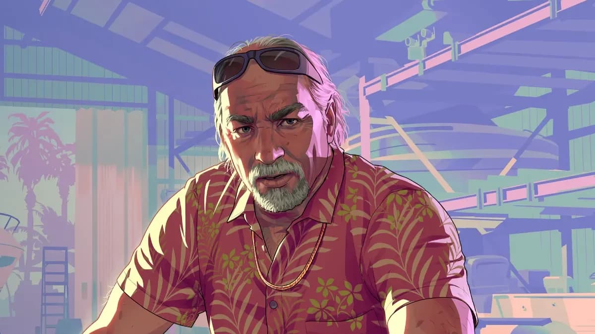
Brian Heder's waterfront marina
The Rusty Anchor is another Key Lento landmark. Its waterfront pier and outdoor picnic tables distinguish the bar from businesses along the highway. Brian and Jason appear around the venue, making it a useful place to recognize during the opening portion of the story.
The Wonder Whale is a separate local shop landmark with a large whale sculpture outside. Use the sculpture to identify the business visually instead of confusing it with the marina or bar.
Watson Bay and the surrounding coast
Watson Bay offers clothing stores, restaurants, and motels, with views toward the Pelican River. The town's named water tower is a recognizable visual reference when you are identifying the settlement.
Bobcat Key and Bobcat Bight belong to the surrounding Watson Bay map grouping. Check those names when exploring offshore so you can keep your coastal trip distinct from a visit to the town itself.
For inland exploration, look for Pelican Valley's water labels. Gullet Marsh, Wetman Bay, and Pelican River give you more specific destinations than the general swamp region name.
Capri on the western side
Capri is the county's wealthier shopping destination, with high-end vehicles, expensive-looking homes, and upscale businesses. Head here when you want luxury shopping or robbery opportunities instead of another wetland excursion.
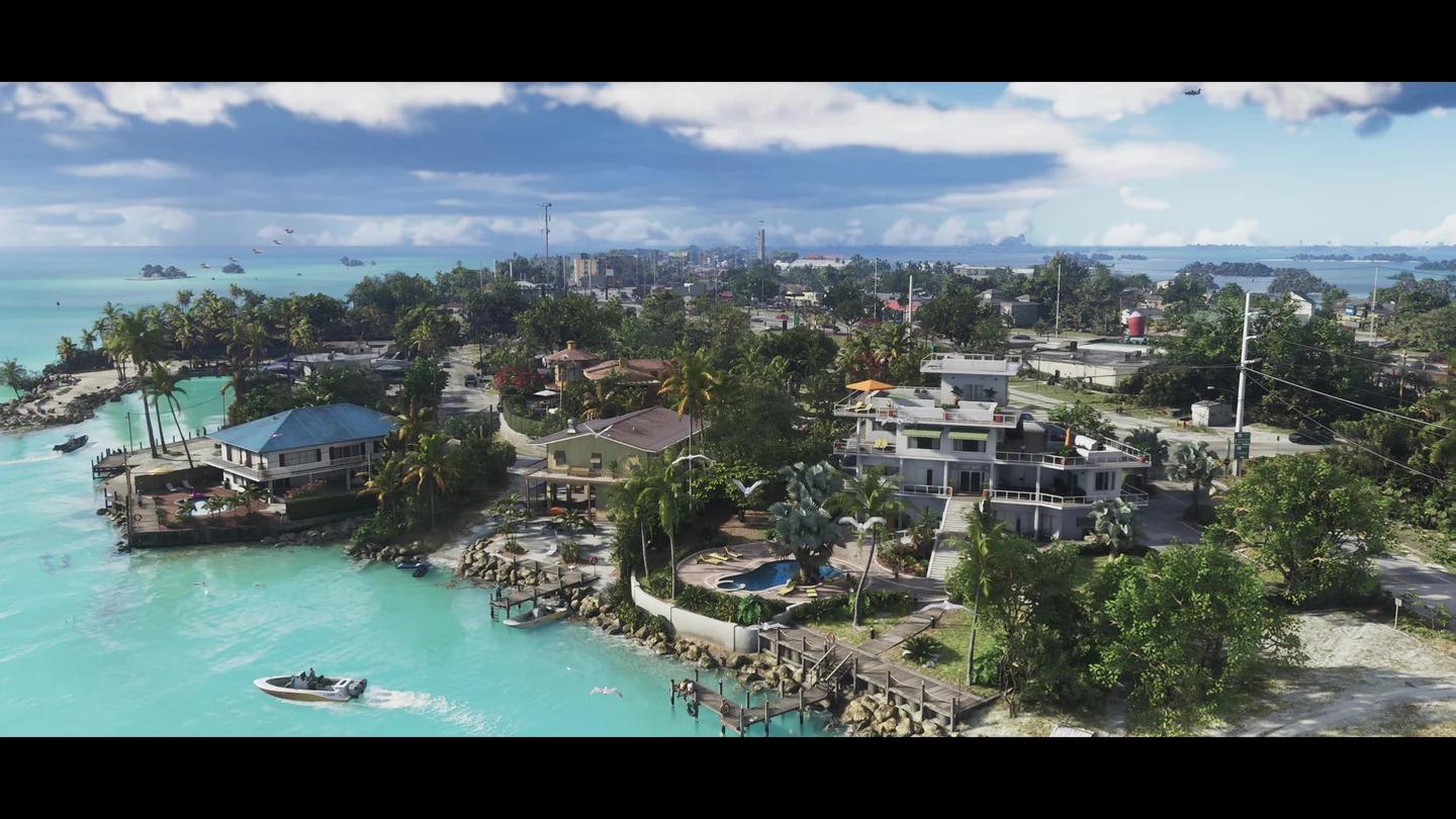
Capri's shops and town streets
Tortoise Lake, Capri Sound, and Belpoint help identify the surrounding area on the map. Use those labels to keep your bearings when moving between the town and its waterfront.
Useful services and activities
Choose a destination by activity
Mariana County's side content spans the Keys and mainland. Pick an activity before leaving town so you are searching the right part of the county.
| What you want to do | Area to prioritize | Activity to look for |
|---|---|---|
| Complete fishing challenges | Leonida Keys | Local fishing challenges |
| Explore underwater | Leonida Keys | Kenton's underwater treasure diving |
| Tackle gang hideouts | Keys and mainland Mariana | Kingfishers hideouts and La Polilla Negra hideouts |
| Enter races | Mainland Mariana | Boone Speedway races |
| Follow the county's creature mystery | Mainland Mariana | Kirk's Skunk Ape and Mr. Mangrove side missions |
Kirk's side missions include searching for the Skunk Ape, looking for tree effigies, and helping him find Mr. Mangrove. Follow that mission chain if the mystery is your main reason for exploring the swamps.
For ordinary errands, choose the settlement that fits the purchase: Key Lento for businesses along the opening area's main strip, Watson Bay for clothing, and Capri for higher-end shopping.
Keep Mile Zero Air Station off a sightseeing route
Mile Zero Air Station sits in the southwestern Keys. It is a military vehicle destination where you can pursue jets or a tank, not a normal airport stop for a quiet tour of the islands.
If you choose to enter, plan the attempt around Grand Theft Auto 6's wanted levels and police escape rules. Choose an exit before crossing the boundary, and make the military vehicle your objective for that trip.